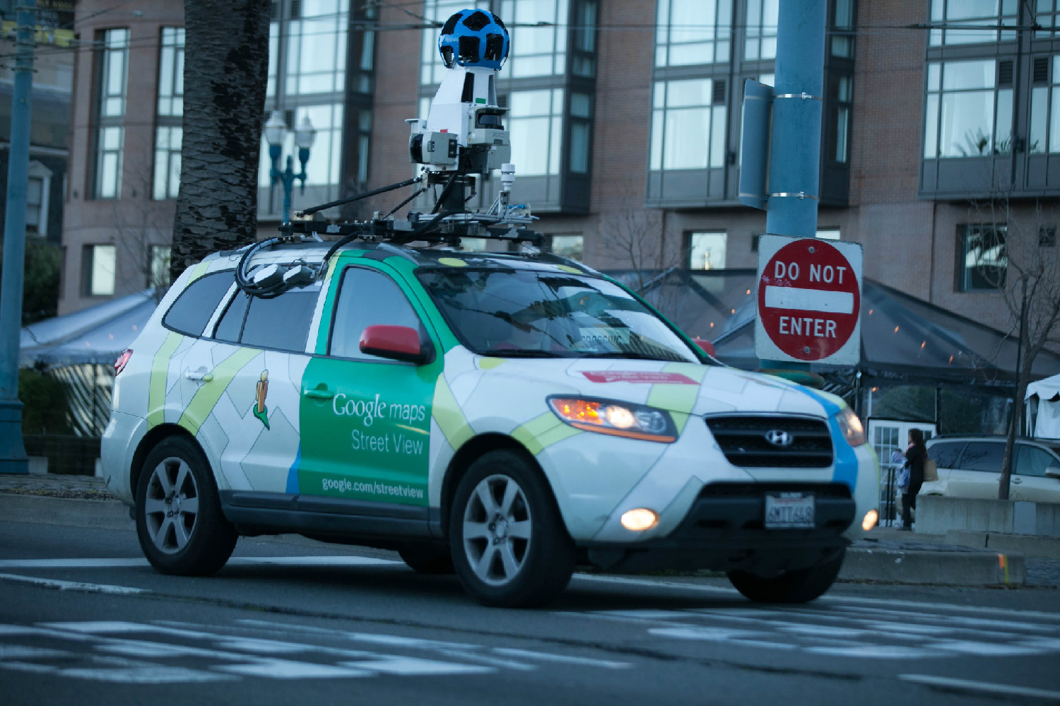
Google’s Street View mapping cars – those white hatchbacks with an orb-shaped camera mounted on a pole on the roof – have been mapping more than roads lately. Outfitted with new sensors to measure traffic-related air pollution, the cars roamed the streets of Oakland to create a block-by-block map of air pollution in three neighborhoods. In a new study published today, researchers at Kaiser Permanente linked these air pollution maps with electronic medical record data from members who live in the neighborhoods to create a block-by-block analysis of the health risks from air pollution, the most detailed analysis of its kind to date.
This zoomed-in look at the connections between health and air pollution is unprecedented. Most air pollution is measured by monitors in fixed locations, and health risks are determined by comparing one neighborhood or region to another. The new study shows how measurements of environmental factors on every street within a neighborhood can help researchers better understand their health effects.

“Our study shows the power of comprehensive health records for conducting cutting edge environmental health research,” said Stacey Alexeeff, lead author of the study and Research Scientist at the Kaiser Permanente Northern California Division of Research. “We’ve broken new ground by analyzing the health impact of air pollution on the city block scale for the first time.”
The study, “High-Resolution Mapping of Traffic Related Air Pollution with Google Street View Cars and Incidence of Cardiovascular Events within Neighborhoods in Oakland, CA,” was published May 15 in the journal Environmental Health. The work is a collaboration with the Environmental Defense Fund, a nonprofit organization that partnered with Google to collect air pollution data on the street level, and with scientists from the University of Texas at Austin.
The study found that elderly people living on a street with incrementally higher levels of either nitrogen dioxide or nitric oxide, two common traffic-related air pollutants, had a 12 percent increase in their risk of cardiovascular events, such as heart attacks, compared to elderly people living on streets with lower levels of air pollution. The study did not find a statistically significant increase in cardiovascular events in general for people living on these streets.
“Our ability to respond quickly to the need to link these the air pollution data with the health data speaks to the power of the Kaiser Permanente setting in doing this kind of important research,” said senior author Stephen Van Den Eeden, a senior research scientist at the Division of Research, who leads the Environmental Exposures Core for the Research Program in Genes, Environment and Health.
That analytical power is a strength of doing air pollution-related health research at Kaiser Permanente, where researchers had access to 40,000 comprehensive health records from Kaiser Permanente members living in the Oakland neighborhoods studied, stored and analyzed in a securely protected data environment.

“We think a study like this shows one path forward in better understanding how air pollution can affect health at the very local level,” Van Den Eeden said.
Van Den Eeden is also co-lead on a large-scale study of air pollution and cardiovascular disease risk funded by the National Institute of Environmental Health Sciences, in conjunction with University of Washington, that will analyze Kaiser Permanente Northern California electronic health records and compare results to a pooled consortium of established cohort studies to gain better information on the nature of the association between pollutants and cardiovascular disease. He is also involved in a research project studying connections between urban and community forests and human health.
Alexeeff and Van Den Eeden’s Environmental Health study is the first in a series using air-pollution mapping data to better understand the impacts of air pollution on health; subsequent papers will look at the health effects of traffic-related air pollution on asthma, and on health care costs.
The finding that elderly suffer more adverse cardiovascular events when living on streets with high levels of pollutants such as nitrogen dioxide, nitric oxide, and black carbon adds to a growing body of evidence indicating their higher susceptibility to air pollution. Alexeeff said that their heightened risk could, at least in part, be due to the fact that they are less mobile than the general population, so they might be spending more time at home, which would increase their exposure to pollution if they live on a more polluted street.
The highest levels of air pollution were concentrated on the freeways that pass through these neighborhoods. The pollution quickly tapered off a few streets away from the freeways, so every street studied was less polluted than the freeways.
“One of the things that I find encouraging from our analysis of the mobile air pollution data is that despite the freeways being so polluted, someone could live just a few blocks away and not be exposed to high air pollution at their home,” Alexeeff said.


This Post Has 0 Comments